Ocean State Spatial Database
The Ocean State Spatial Database (OSSDB) is a geodatabase created by the Brown University Library GeoData@SciLi team, for conducting basic geographic analysis and thematic mapping within the State of Rhode Island. This database contains geographic features and data compiled from several public sources, and is intented to serve as a basic foundation for mapping projects in Rhode Island.
This data is hosted publically on Github and can be downloaded as a full SQLite file.
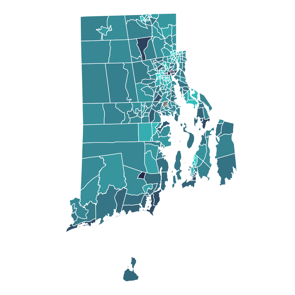
Here are some example graphics that can be made just using data from this database.
30%0%